I’ve recently started a Pinterest of Spanish resources and came across some lovely maps as I was pinning. None of them would actually serve to guide your way so no good for directions really, but they sparked a few ideas!
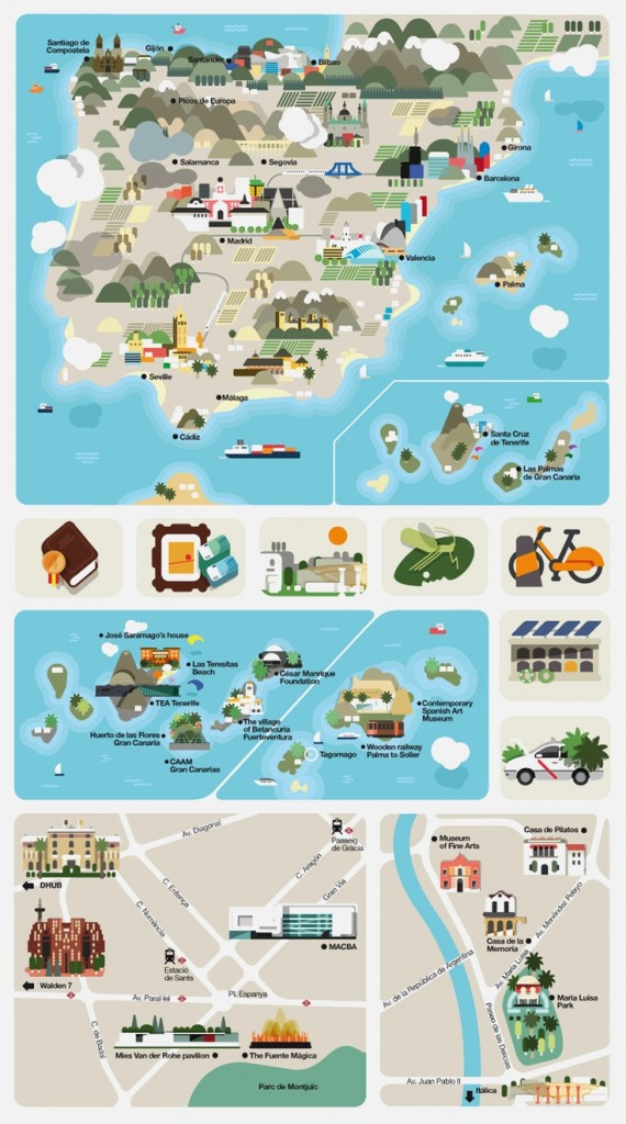 This map is a composite of a number of graphics used in an article on Spain. I like the stylised topography and selection of places of interest in various towns.
Possible activities
Name the monuments on the map of Spain.
Assign each group a monument to research.
Identify the mountain ranges. Which is tallest? What activities can be done in the mountains?
Give learners their own blank map of Spain and ask them to select places of interest, features such as rivers or lakes etc to mark on their own infographic map.
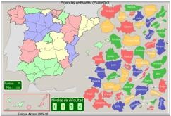
This isn’t an infographic, rather a site that is packed with interactive maps looking at the geography of Spain. You can try to name the rivers, mountains, autonomous regions, provinces and so on. I particularly like the provincias one above as the shapes give you a clue – they’re quite tricky puzzles!
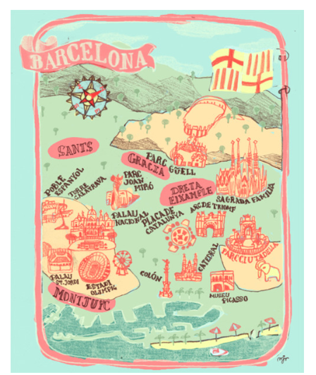
This map of Barcelona gives the vague geographical layout of several monuments and places of interest.
Possible activities
Find the date that each of the monuments was built (practice of large numbers!)
Challenge learners to plan a visit that includes all or a selection of the places on the map using public transport.
Draw a map of their town or a large city in the same style.
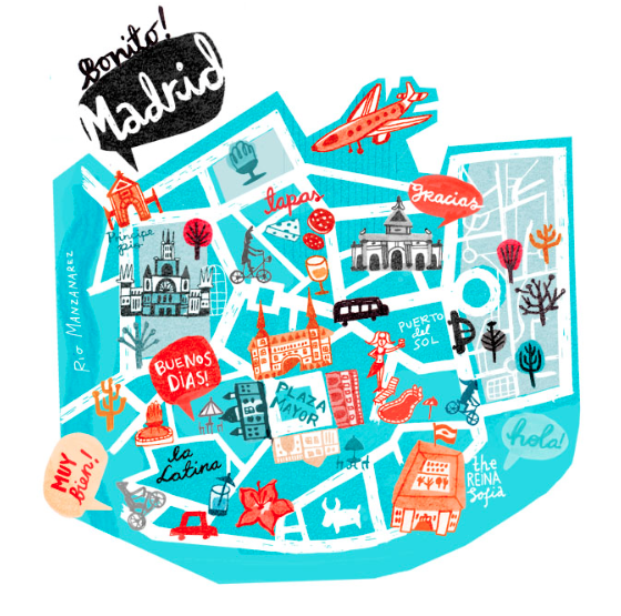
And this map of Madrid has even less geographical information but also includes some phrases that you might hear / use, and some ideas of things to do as well. There’s a similar map of Paris.
Possible activities
Design a similar map for your local area; which places would you recommend? what would you do? which phrases might sum up your area?
Compare the above with a plan of Madrid. Is it accurate? Discuss the differences using Group Talk phrases of opinions and agreement/disagreement.
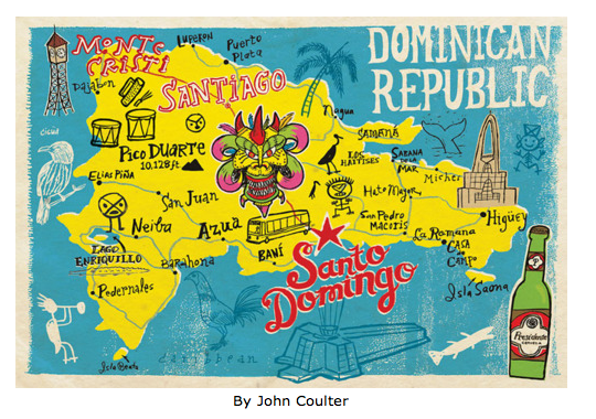
And then there are maps of Spanish speaking countries. This one of the Dominican Republic is possibly the nearest to an accurate map here.
Possible activities
Where is the Dominican Republic? How did it get its name?
There are ‘doodles’ all over the map. What are they?
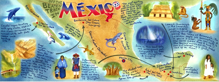
The maps above and below come from a site with lots of map /infographic images of Spanish speaking countries.
I like the use of colour in these maps.
Possible activities
Use the Mexico map to recommend activities to -a wildlife lover -a history buff -a thrill seeker
Make your own tourist map in the style of either map – off the beaten track activities, food you mustn’t miss, insider knowledge of the best coffee and so on.
Devise a slogan for your area like ‘Pura Vida’
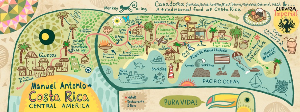
And if you don’t want to do activities with the maps, they makes lovely displays!
I have a feeling that I’ll be coming back to other infographics soon with more ideas …
 This year at Language World I was invited to present some ideas for using technology for collaboration in language learning. I teach primary so the focus was on that age group but there are many ideas and tools that are equally applicable for young and old! In spite of some technical hitches and running out of time as there was so much to share, the ideas were well received and I hope that this will serve as a reminder/update for those who attended, and a snapshot for those who didn’t.


